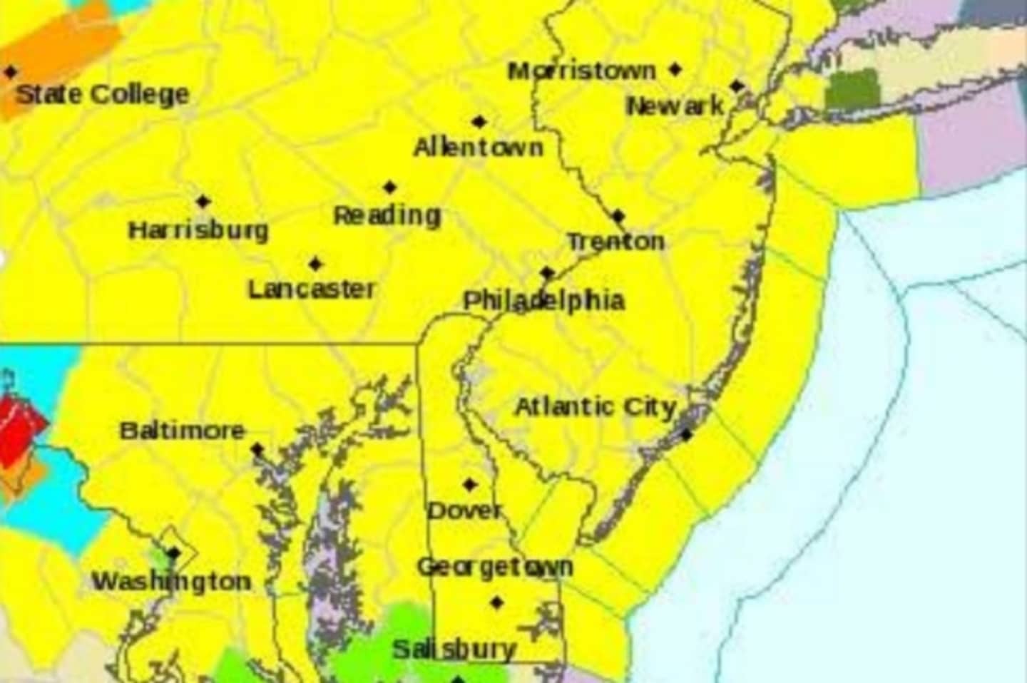
The National Weather Service originally sketched a path that stretches from Washington, D.C., to upstate New York — and includes North Jersey and just about all of New York City, Rockland and Westchester.
It classified the situation as a tornado watch — meaning conditions are slight but not impossible for a twister — and not an outright warning.
On top of that, it’s going to get cold fast, beginning this afternoon, when heavy thunderstorms and strong winds — up to 75 miles an hour — are expected to create some serious havoc. Those are on their way from western Pennsylvania.
By nightfall, temperatures could be in the mid 50s, the NWS said.
Besides possible lines being downed, a new set of fallen leaves will join the massive amount that came down over the weekend. Figure on up to three inches of rain by the time it’s done.
That will make driving extremely slippery and clog drains, contributing to flooding.
Click here to follow Daily Voice East Dutchess and receive free news updates.